
Constellation Identification
Recognize major constellations and asterisms using bright reference stars, seasonal position and simple pattern logic rather than memorization alone.
Astronomy education, adapted to your sky
A structured, self-paced resource for identifying constellations, understanding telescopes and planning observations, calibrated to the light pollution, elevation and seasons of your part of the United States.
Why the sky looks different depending on where you stand
Latitude changes which constellations circle overhead all year and which ones only appear briefly near the horizon. Elevation changes atmospheric clarity. Coastal humidity, desert dryness and mountain wind all affect how steady a telescope image looks through an eyepiece. This resource treats those differences as the starting point, not an afterthought, building each lesson around the actual conditions learners are likely to face.
What you'll learn
Recognize major constellations and asterisms using bright reference stars, seasonal position and simple pattern logic rather than memorization alone.
Understand aperture, focal length and mount types well enough to set up, align and focus an entry-level or mid-range telescope without guesswork.
Interpret planispheres and printed star charts, orient them to your latitude and date, and translate a flat map into what's overhead tonight.
Follow the visible planets across weeks and months, distinguish them from stars at a glance, and anticipate conjunctions and oppositions.
Photograph star fields, the Moon and bright planets using a smartphone, a basic tripod or an entry-level camera with manual controls.
Plan around meteor showers, eclipses and bright conjunctions by checking timing, moon phase and local viewing conditions in advance.
Built around US geography
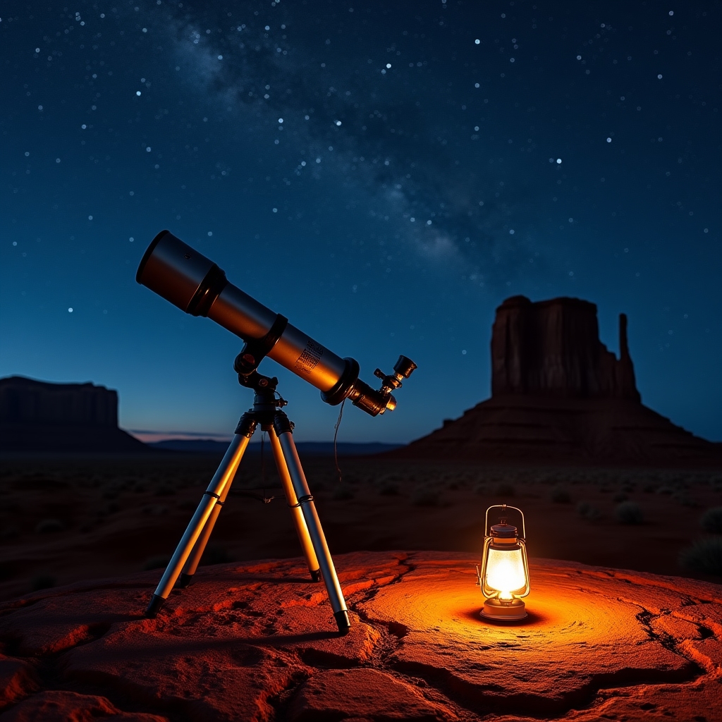
Desert Southwest
Arid regions across Arizona, New Mexico and inland California often provide some of the least obstructed views available east of the Rockies. Lessons for this region focus on horizon-to-horizon star maps, heat shimmer management for telescope focus and safe practices for observing sessions that run late into cooler desert nights.
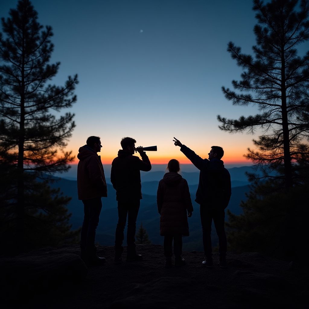
Northeast & Appalachian Ridge
Learners along the Appalachian corridor and Northeast corridor typically contend with tree lines, rolling terrain and nearby urban light domes. Content here emphasizes ridge and clearing selection, timing sessions around moonrise, and choosing constellations and bright objects that stay visible despite partial sky obstruction.
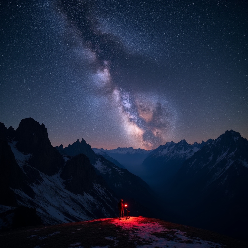
Mountain West
At higher elevations across Colorado, Utah and Wyoming, thinner atmosphere and lower humidity often produce steadier images and fainter visible stars. This module covers cold-weather equipment handling, temperature acclimation for optics and altitude-related notes on comfort during extended outdoor sessions.
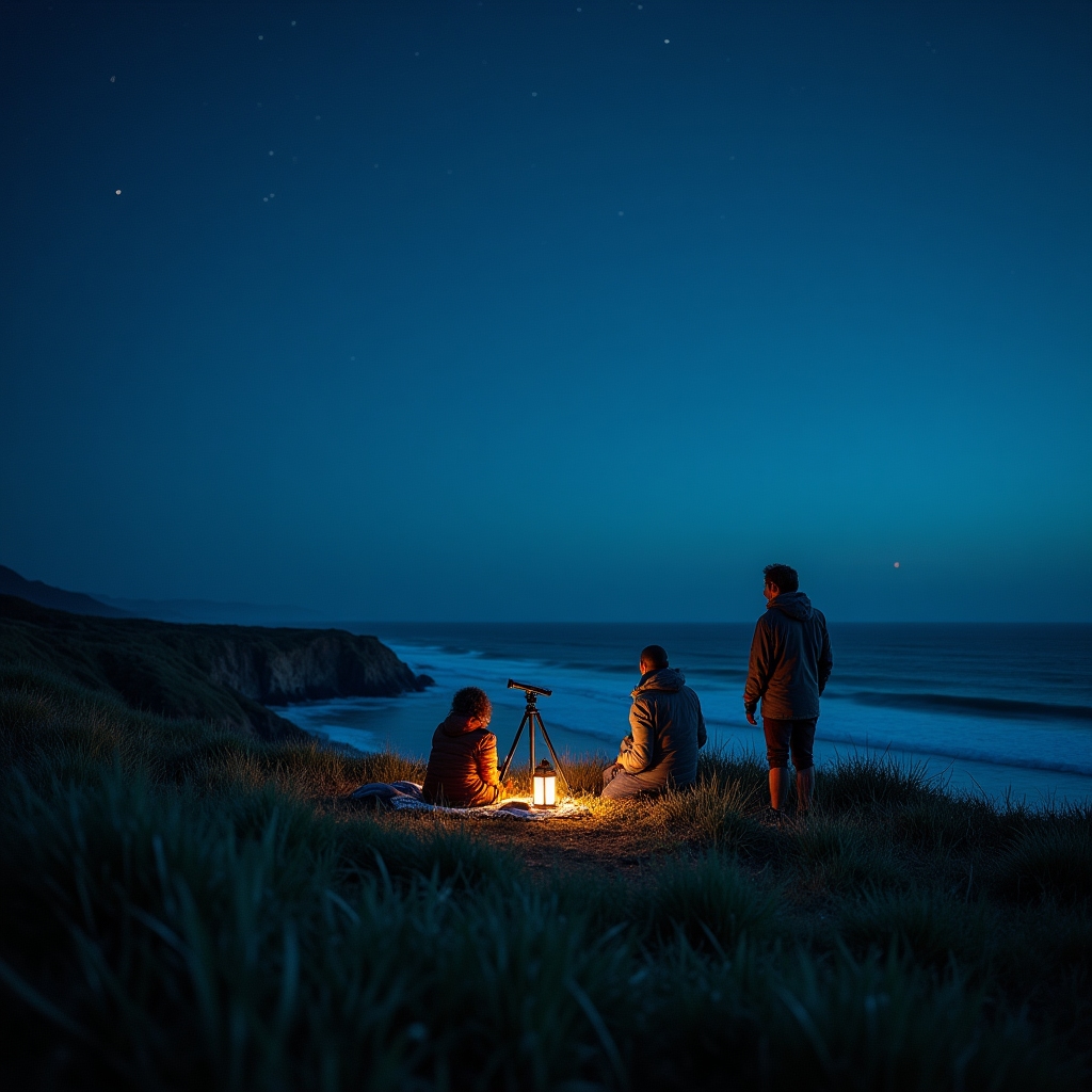
Pacific Coast & Islands
Coastal observers deal with fog banks, onshore wind and salt exposure on equipment, balanced against an unobstructed sea horizon useful for tracking objects low in the sky. Lessons address timing sessions between marine layer patterns and basic equipment care after salt-air exposure.
Reference material
Four printable star charts, one for each season, showing major constellations visible at mid-northern US latitudes.
View detailsA pre-session checklist covering optics, mounts, batteries and accessories for a first-time or returning telescope user.
View detailsAn annual reference of predictable meteor showers and eclipses with general notes on typical viewing windows.
View detailsA reference sheet of starting camera settings for smartphone and entry-level DSLR night sky photography.
View details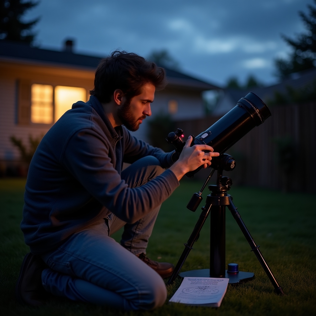
Why this format works for beginners
Group sessions and downloadable references are available to help you take the next step, whether that means your first constellation or your first long-exposure photograph of the Milky Way.